Energy And Land Resources
Aerial survey, ground survey, and/or high-definition laser scanning, we provide expert information for many energy and land resource clients
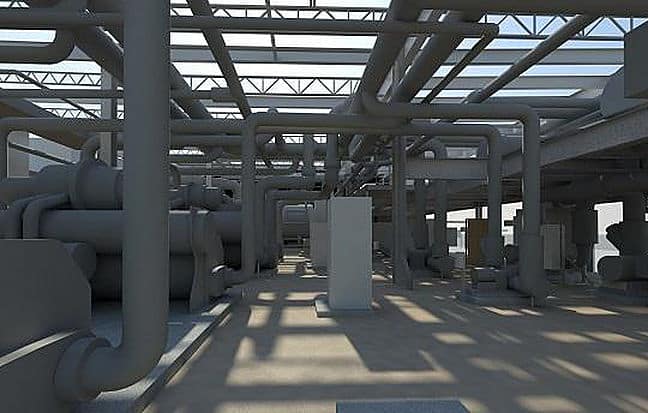
Asset Inventory, Design, and Preservation
Whether performing an aerial survey, ground survey, and/or high-definition laser scanning, Martinez Geospatial provides the information needed for asset inventory, design, and preservation for many energy and land resource clients.
Our experience includes performing a wide variety of geospatial services for the following energy & land resources:
- Commercial / Industrial / Residential Development
- Hydroelectric Dams
- Landfills / Mines / Quarries
- Oil Refineries
- Parks / Nature Preserves
- Pipelines
- Power Plants
- Sanitary and Storm Sewers
- Substations
- Water and Wastewater Treatment Plants
- Wetlands
- Wind Farms
Martinez Geospatial
2915 Waters Road, Suite 108
Eagan, MN 55121
Phone: 651-686-8424
Fax: 651-686-8389
