Drone photography & unmanned aerial systems (UAS)
DRONE PHOTOGRAPHY, VIDEO, AND SITE MAPS CAPTURE EVERY ANGLE
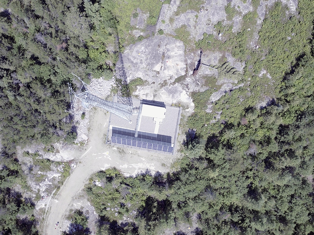
WE BRING PROFESSIONAL CONSTRUCTION, ENGINEERING DRONE AND UAV SERVICES TO PROJECTS OF ANY SIZE
Expert Aerial Photography Experience
At Martinez Geospatial, we have over 50 years of experience working with aerial images. Utilizing MTZ’s skill sets acquired over the years, we have seamlessly expanded from large scale projects to include small scale Unmanned Aerial Services (UAS) systems through the advancement of technology. Drone photography offers a new way of capturing landscapes, buildings, and cities. Using drones mounted with specialized equipment, we can safely and accurately capture valuable data for photogrammetry and other needs.
With Part 107-certified U.S. commercial drone pilots on staff, we provide our UAS services to clients with exceptional image quality, LiDAR collection, and analysis. Since our first drone purchase in 2021, we have flown over 2,000 miles with more than 150 hours of in-air time.
Highest-Quality Information
Our Unmanned Aerial Systems (UAS) services are being used for Ortho-mosaic generation, 3-D architectural modeling, digital elevation modeling, planimetric feature extraction, and marketing purposes. All of our UAS photography is at design-level or survey-grade accuracy for multipurpose use.
Decades of Experience
Our in-house photography, survey, mapping, and design team has decades of experience performing Aero-Triangulation, aerial control processing, and data extraction using aerial imagery. Utilizing MTZ’s agile skill-set, taking the photogrammetric capabilities to the small format of a UAS has been a seamless transition.
Visualizations
For nearly any project we do, we have the capability, in house, to create a visualization of your project. This includes flythroughs, scanning, and more for detailed images that lend incredible accuracy to your project. After UAS data is captured from our drones, we provide post-processing services to generate images, maps, videos, and other project specific data that fit clients’ needs. Whether you’re building a new railway line and need to chart the best course or you’re creating a stunning marketing video for an event, our photography provides the data and images to make your final project a success.
Drone Photography Deliverables
We view each project as a unique opportunity to meet your project needs and can combine deliverables to achieve your goals. It’s essential to schedule a consultation with us so that we can understand your project requirements and create the best project plan to suit your needs.
Typical deliverables include:
- 2-D and/or 3-D Planimetric / Topographic CADD Drawings
- 3-D Digital Terrain Models (DTM) / Digital Elevation Models (DEM) / Triangulated Irregular Network Files (TIN)
- Ortho-mosaics
- Visualizations and 3-D Architectural Modeling
- 3-D Point Clouds derived from Structure-from-Motion and LiDAR
- Building Façades
- Marketing Materials
Martinez Geospatial
2915 Waters Road, Suite 108
Eagan, MN 55121
Phone: 651-686-8424
Fax: 651-686-8389
