SLAM: Simultaneous Localization and Mapping
Precise cloud point mapping of indoor spaces.
An Excellent Alternative to Traditional Laser Scanning
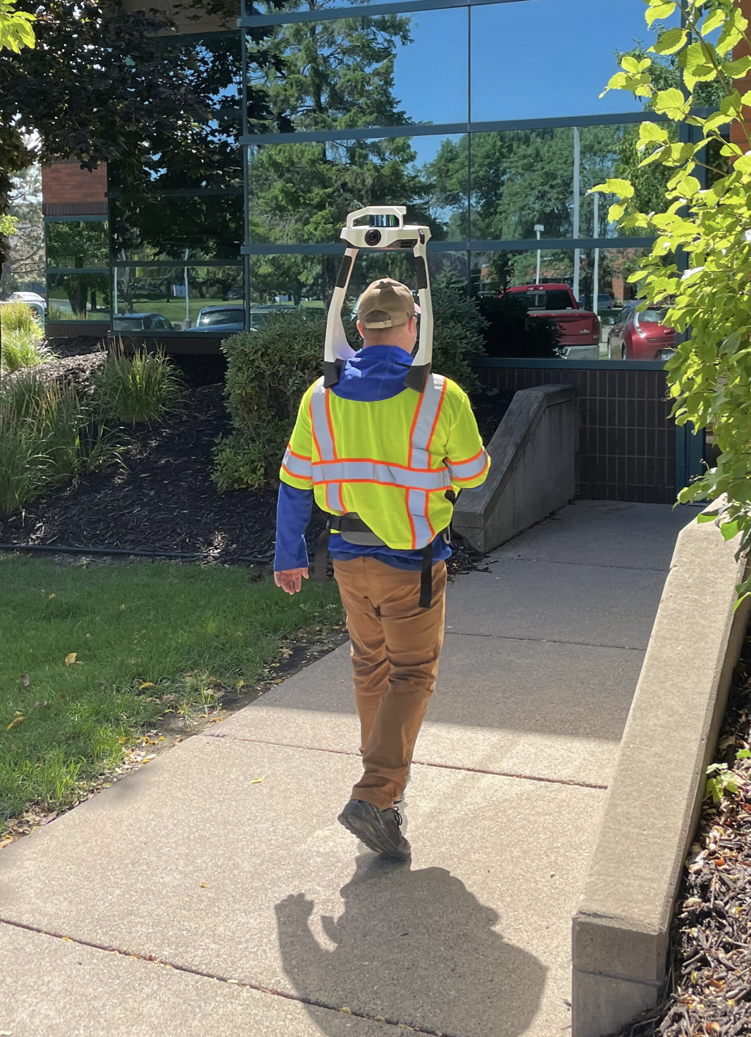
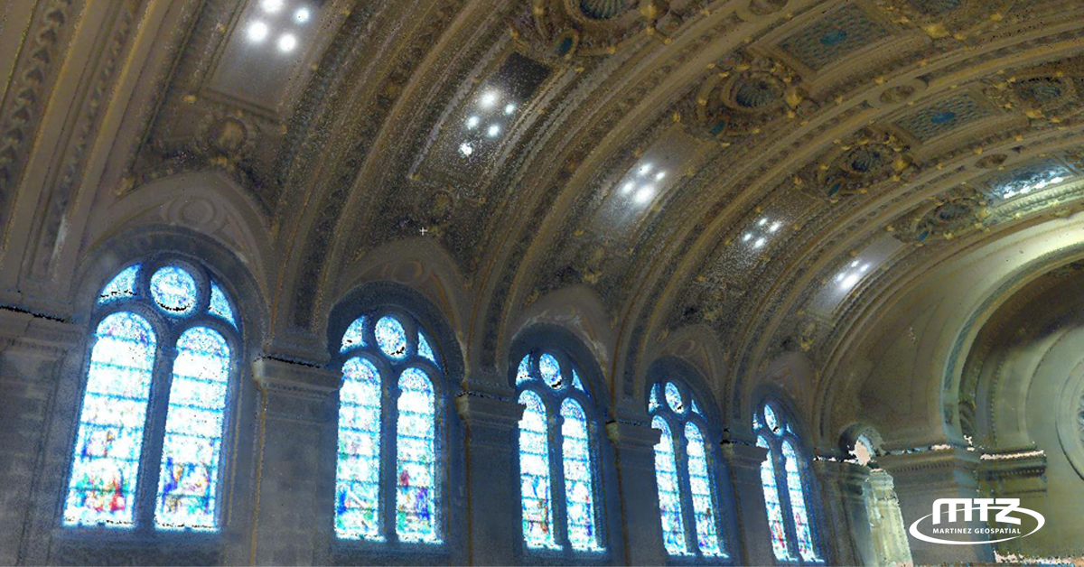
Some spaces are easier to scan than others. Simultaneous localization and mapping systems offer an excellent alternative to traditional laser scanning, particularly for indoor areas. The NavVis VLX 2nd Generation used by Martinez Geospatial offers many benefits, including:
- Fast and accurate point cloud data and color imagery acquisition.
- The ability to scan areas where traditional terrestrial laser scanning can be challenging.
- Preserving the details of the scanned features while automatically detecting dynamic objects and removing noise.
- Control point support.
Contact Martinez Geospatial for a project estimate.
Call (651) 686-8424

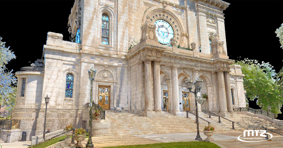
Many Uses for Martinez Geospatial SLAM NavVis Scans
- ADA Surveys
- As-Built Records Drawings, including MEP (mechanical, electrical, and plumbing) components and HVAC (heating, ventilation, and air conditioning) systems
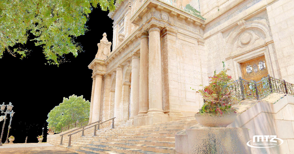
- Building Renovation, Expansion, and Historic Preservation
- Clash Detection
- Construction Site Monitoring
- Facility Management
- Existing Condition Surveys
- Public Outreach Visualizations
- Quantity Calculations
- Sign Inventories
- Topographic Surveys
- Tree Inventories
Martinez Geospatial: When Experience Matters
Choose Martinez Geospatial when experience matters. We offer fast, portable, and precise laser scanning and mobile mapping services for architectural, engineering, construction, and facility management applications. Our experts can create high-quality, detailed, and accurate 2D mapping and 3D photorealistic modeling of your project environment.
Fill out our form to begin discussing your project or call us at:
(651) 686-8424
Ready to explore how the NavVis VLX system can add exceptional 2D drawings and 3D models to your project? Call (651) 686-8424 or fill out the form below.